to be at the level of the prehistoric lakeside dwellings of the Bronze Age, which are 4 m below the surface.
3) It would have been at that level or a little bit higher, around -15 to +400
to be at the level of the Roman harbour of Vidy. The Roman harbour ![]()
4) A tidal wave occurred, caused by (tsunami)
the landslip of the Tauredunum, in 562, or 563, or even 564 according to others. According to Marius d'Avenches, directly, by falling into the lake.
According to Grégoire de Tours, indirectly, by damming the Rhône. A dam which would later collapse...
The wave was apparently so huge that, amongst the other devastation it wreaked,
it razed Rivaz, Glérolles, Bret (FR), even reaching as far as Geneva, where it carried away the bridge.
Most authors place the Tauredunum on the Grammont.
But Fred Montandon, in the Globe, Genève, memoirs, 1925, p35-94. says that the Tauredunum
was on the Dents du Midi and that the Grammont landslip goes back to the Copper
and Bronze Ages.
5) Would the source of the lake have been much further up than today,
at or near St-Maurice?
- According to the sieur D'Anglure: "...on the 12th day of June 1396 we crossed the Rosne
at the harbour of St-Moris..."
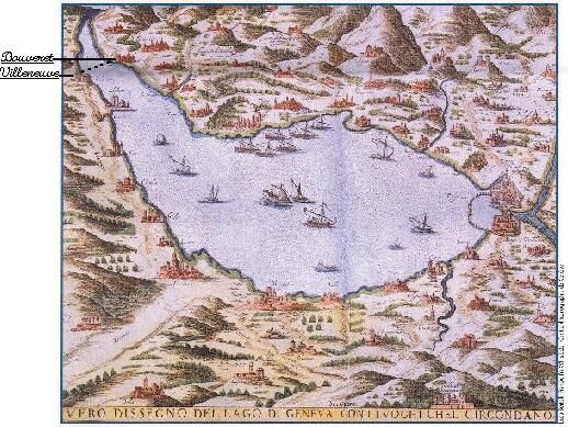
- According to this map by Sebastien Munster from 1598
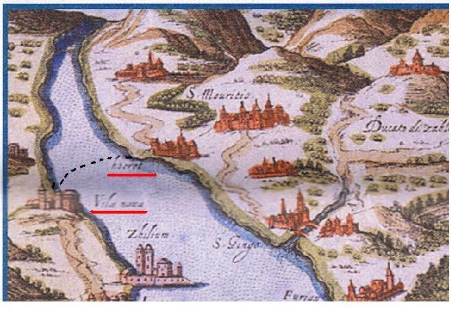
- According to this map from the end of the XVIth century, by Luca Bertelli, Franco.
(Source & copyright: Genève, Bibliothèque publique et universitaire)